Free Shipping on Orders of $75 or more.
Sell Books in Your Shopify Store
Adding book to your cart
Report copyright infringement
by Stefania Merlo (Author)
This book discusses the theoretical aspects and practical applications of GIS for intra-site analysis in archaeology. It has been previously argued that GIS is unable to manipulate three-dimensional data and therefore to represent an archaeological excavation, since three-dimensionality is the main characteristic of the excavated record. This book explores the extent to which archaeological data and GIS structures parallel one another and, through this discussion, it challenges ideas around the ability of the traditional archaeological record to represent multidimensional spaces. The book then argues that three-dimensional data and the use of modelling techniques in a three-dimensional GIS allow for a better and more nuanced understanding of the excavated archaeological record. Practical examples are provided from two specific excavation scenarios: the Neolithic site of Kouphovouno in Greece and the Mesolithic to Early Neolithic Hoge Vaart excavation in the Netherlands. A conceptual framework for representing spatial (and temporal) excavation information is outlined, and provides a blueprint for creating a model for storing, manipulating and analysing archaeological excavation data.
No books in the cart.
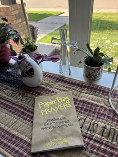
A small yet very thoughtful devotional book. A beautiful way to promote seeing God everyday in everything.
The book was bent in the top corner but overall i love it!
Great feel yum yum
genuinely a good read
It’s a great item, exactly what i was expecting 😊