Free Shipping on Orders of $75 or more.
Sell Books in Your Shopify Store
Adding book to your cart
Report copyright infringement
by Lisa Karen McManama-Kearin (Author)
This work examines the effectiveness of the use of GIS and GIS viewsheds as tools in the study of medieval castles in Ireland. To date, archaeological usage of GIS viewsheds has centred on prehistoric funerary sites. Little work has been done using GIS in relation to medieval castles, a subject and time-frame which is well documented. To date, no work has tested GIS and viewshed analysis across a wide comparative sample of castles. This study uses GIS to examine the visibility of and the views from structures about which much is known. A comparable set of twenty sample castles were taken from a particular period in one social/geographical context, the first century of English lordship in Ireland. Research objectives included exploring the priorities of the first three generations of Anglo-Norman castle builders in Ireland, by determining if there are patterns in site choices. Specifically the project aims to establish whether visibility may have played a role in the siting of these castles.
No books in the cart.
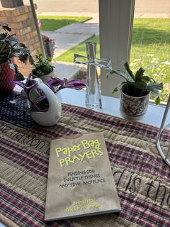
A small yet very thoughtful devotional book. A beautiful way to promote seeing God everyday in everything.
The book was bent in the top corner but overall i love it!
Great feel yum yum
genuinely a good read
It’s a great item, exactly what i was expecting 😊